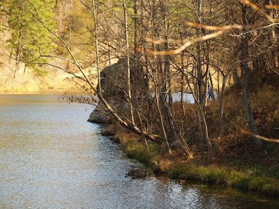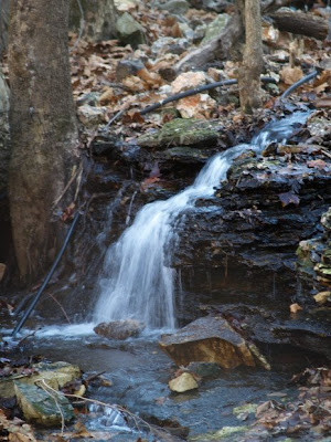


Today I went for a short hike with the Eureka Springs Outdoor Alliance, an organization dedicated to improving the outdoor opportunities in and around Eureka Springs. We hiked around Black Bass Lake and it was a beautiful day for it. We were scouting possibilities for trail improvement and clean up. At one point in the trail, there are piles of tires that had been rolled down the hill from a gas station, so we are plotting a method for removal. It should be a fun way to improve the community and enjoy the outdoors in a way that makes it better. The photos are Black Bass Lake, the cut stone facing on the earthen dam built before 1916 as a reservoir for the city of Eureka Springs, and the small stream running from below the dam in dry weather. If you want to find Black Bass Lake on Google Earth, use the coordinates 36°23'39.04"N 93°44'56.62"W
this must be one of the hidden gems in Eureka I have never been there and don't know how to find it even.
ReplyDeleteGo west from town toward ESSA and turn left just past Tad's. Go down the long gravel road and take the left fork when you get to the bottom of the hill. This will take you to the parking lot at the base of the dam. It is even more beautiful than my photos let on.
ReplyDeleteThe Google earth coordinates for the dam are:
36°23'39.04"N 93°44'56.62"W